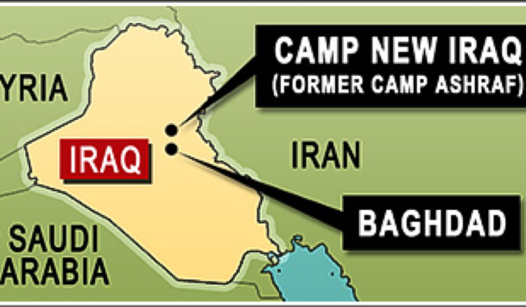
This morning I was tasked, at short notice, by the UN Refugee Agency to create a small graphic to accompany a press release about Camp Ashraf, (now being called “Camp New Iraq“).
With little information to go on, I decided on a simplified map of Iraq, depicting the location of Camp Ashraf, and it’s proximity to Baghdad. I produced this graphic in under an hour, and I was quite pleased with the outcome.
Some background on former Camp Ashraf
Ashraf is a city turned 25-year-old refugee camp, just 40 miles north of Baghdad. It’s residents, Iranian militant opposition group the People’s Mujahedin of Iran (PMOI), were exiled when they fought alongside Iraqis soldiers against Iran’s cleric leaders in the First Persian Gulf War.
Despised in their own country as traitors, and with little sympathy remaining in post-Saddam Iraq, the fate of the residents of Ashraf now hangs in the balance. The risks of violence are high, and come from both sides, with frequent clashes there resulting in loss of lives.


You have got your facts wrong about Camp Ashraf
How so? Correct me, if I’m wrong…